|
 |
|
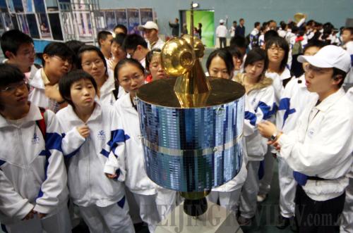
POPULARIZING SPACE SCIENCE: A staff member introduces a model of the ZY-3 satellite to student visitors at a science exhibition on October 20, 2008 (CFP) |
China will launch its first high- resolution, stereoscopic mapping satellite for civilian use, ZY-3, in 2011. According to the State Bureau of Surveying and Mapping (SBSM), the debugging and testing on the launch mechanism, launching site, ground receiving system and application system have already been completed. The satellite will be lifted into space from the Taiyuan Satellite Launch Center in north China by the Long March 4B carrier rocket.
With a global positioning system, remote sensing and a geographic information system as its core technologies, ZY-3 combines functions of both mapping and resource surveying. The satellite will send data information back to the Earth, and the information can be mainly used for drawing topographic maps on the scale of 1:50,000.
One of the goals of ZY-3 is to significantly improve the efficiency and capacity of land and resource surveying and management and provide helpful data and information in preventing or reducing the impacts of natural calamities. It will also play an important role in the fields such as forestry and agriculture, environmental protection, urban planning and construction, transportation and national defense.
Without a doubt, the project of ZY-3 will promote the development and upgrading of the geographic information industry. At present, the scale of the geographic information industry in China is growing rapidly. Some mapping and geographic information enterprises have approached an internationally advanced level in device manufacturing and resource processing, application and development.
"The geographic information services bring convenience and benefits to our work and lives. High-resolution remote sensing images are urgently needed in more and more areas," said Xu Deming, Director of the SBSM.
For a long time, Xu said, China has relied on aerial photography, with an imaging range between 700,000 to 1 million square km, for acquiring geospatial data. However, aerial photography is greatly restricted by factors such as weather. For example, it cannot be done on rainy days. Thus, the need for a high-resolution satellite remote sensing image is urgent. The ZY-3 satellite will solve the problem, a bottleneck for China's geographic information industry development.
The satellite has reached the same level of international counterparts, not only in image resolution but also in mapping precision and information storage capacity. It has achieved many firsts in the areas of domestic remote sensing, such as image data size and application system processing speed. Every day, 1,790GB of data will be received, processed and stored and 2,508 images will be received and archived.
In total, there are four cameras installed on ZY-3, including a 2.5-meter resolution camera and two 4-meter resolution panchromatic charge-coupled device stereo cameras shooting the Earth downward, forward, backward respectively. They form a three-line configuration to take photos, and then shape three-dimensional images under the principle of stereoscopic vision. Another multi-spectral imaging camera, with ground resolution better than 10 meter and height determination accuracy better than 5 meter, mainly shoots the ground objects through blue, green, red and near infrared optical waves to produce colorful images.
Before imaging, the computer does some preprocessing work, including matching images at different positions, eliminating streaks and color adjusting. Finally, a measurable three-dimensional image model is synthesized. That is to say, scientific and technical personnel can directly measure model images and collect accurate data through computers without actual on-site measurement. This is a total digitalization of image processing.
|