|
 |
|
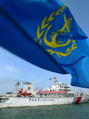
SETTING SAIL: A vessel of the Hainan Maritime Safety Administration leaves the provincial capital of Haikou for a mission in the South China Sea on January 15 (ZHAO YINGQUAN) |

The Philippines decided to bring to a UN tribunal last month its maritime disputes with China in the South China Sea as well as China's jurisdiction rights over the South China Sea within the U-shaped "nine-dotted line." The action, however, is not conducive to the settlement of the disputes. On the contrary, it could further complicate the issue. Proceeding from the perspectives of both the historical background and international law, the recent move of the Philippines is untenable.
In 1933, the French colonial authorities of Viet Nam seized nine Chinese islands in the South China Sea, shocking the Chinese Government of the time. No one could tell the exact location of those islands and match their Western names with their Chinese names, preventing the government from lodging diplomatic protests and claiming sovereignty promptly. Therefore, the government set up a committee to make a detailed map of South China Sea islands and confirm their Chinese and English names.
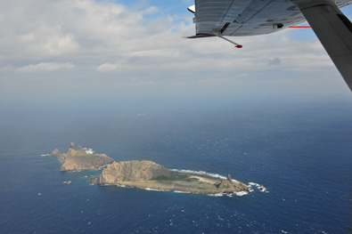
Two years later, the committee published the first map of the South China Sea area and demarcated the Xisha, Dongsha, Zhongsha and Nansha islands. Huangyan Island, which is at the center of recent tensions between China and the Philippines, was included into Chinese territory as part of the Zhongsha Islands. The map shows that the southernmost part of China's sea border reaches 4 degrees north latitude. The South China Sea boundary line in this map is the prototype of the current U-shaped line.
After recovering Taiwan based on the Cairo Declaration and the Potsdam Proclamation following the end of World War II, the Chinese Government set about taking the Xisha and Nansha islands back. In October 1946, it sent a naval fleet to retake the islands. Chinese soldiers erected monuments on some of the islands to assert sovereignty. The government also set up an administrative office on Taiping Island for Nansha Islands affairs. The office was under the jurisdiction of the Guangdong Provincial Government.
In the meantime, the Chinese Government strengthened its efforts on surveying and mapping the South China Sea. In 1946, Chinese experts made a survey of islands and shoals in the South China Sea. Based on the survey, China published a new list of 172 place names in the South China Sea in the following year. To spell out China's sovereignty over the islands, the Chinese Government printed a location map of Chinese islands in the South China Sea, in which an 11-dotted line was employed in demarcating the maritime border. That line was included in the map of China's administrative regions published in February 1948, showing China's sovereignty over the South China Sea islands to the international community.
After the founding of the People's Republic of China (PRC) in 1949, the 11-dotted line was also marked on the official map of the PRC. In November 1953, the Chinese Government revised it to a nine-dotted line, which is still in use today. In the last six decades, official statements and legal documents have again and again reaffirmed China's sovereignty and maritime rights over the South China Sea islands and their adjacent waters. For instance, the Chinese Government issued a declaration defining its territorial waters in 1958, noting that the breadth of the territorial sea of the PRC is 12 nautical miles and that the rule applies to all the country's territory including its mainland and coastal islands, Taiwan and its affiliated islands, the Penghu Islands, the Dongsha Islands, the Xisha Islands, the Zhongsha Islands and the Nansha Islands.
|